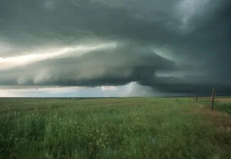
HIGH WIND WARNING REMAINS IN EFFECT UNTIL 6 PM CST THIS EVENING…
* WHAT…West to northwest winds 30 to 40 mph with gusts up to 60 mph expected.
* WHERE…Portions of northeast Missouri, east central, northeast and southeast Iowa and north central, northwest and west central Illinois.
* WHEN…Through 6 PM CST today.
* IMPACTS…Damaging winds may blow down trees, branches and power lines. Power outages will be possible. Travel will be difficult, especially for high profile vehicles and along north to south oriented roads. Outdoor decorations may get damaged.
* ADDITIONAL DETAILS…The strongest winds are expected this morning through the mid afternoon.
PRECAUTIONARY/PREPAREDNESS ACTIONS… People should avoid being outside in forested areas and around trees and branches. If possible, remain in the lower levels of your home during the windstorm, and avoid windows. Use caution if you must drive.
***Report Courtesy of the National Weather Service***