
Convenient resource to plan trips, showcase state’s vast bike network
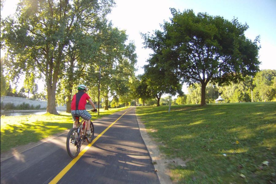
The Illinois Department of Transportation today announced the release of the new-and-improved Illinois Official Bike Maps, a free and convenient resource showcasing the state’s vast bicycle network of trails, paths and streets. Maps for each of IDOT’s nine districts include new features and designs that make them easier to understand, while including more information on noteworthy stops and attractions easily accessible by bike.
“Bicycling is a healthy, viable and environmentally-friendly option of transportation in cities, towns and rural areas throughout our state,” said Illinois Transportation Secretary Omer Osman. “These maps will provide residents and visitors a valuable and handy tool to plan for their daily travels as well as trips for fun and recreation.”
The maps continue to feature information on local trails and paths, in addition to recommended bicycle routes on local streets and connections to transit. Details on attractions such as campgrounds, parks and other points of interest also are included.
Improved design and markings were incorporated to make the maps easier to read while providing a regional perspective of bicycling resources and interests in a paper format preferred by many bicyclists. The nine unique covers also reflect the diversity of the state’s bicycling community and environment.
To order a map, click here or visit https://idot.click/bikemaps.
***Courtesy of the State of Illinois***