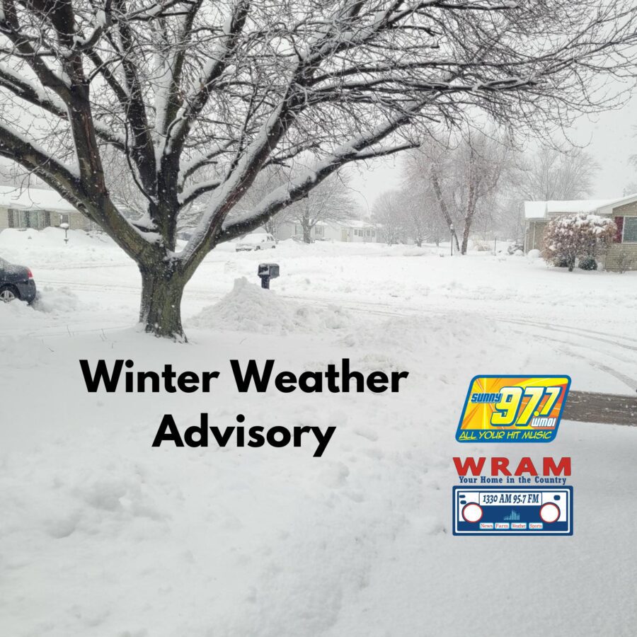
The National Weather Service in the Quad Cities says a Winter Storm Warning remains in effect from midnight tonight through 6 a.m. Sunday.
What to Expect
• Heavy snow with total accumulation between 7 and 10 inches
• Wind gusts up to 35 miles per hour
• Roads, bridges, and overpasses will likely become slick and hazardous
• Travel could become very difficult to impossible
Who is Included
Portions of west central Illinois and southeast Iowa, including Macomb, Monmouth, Galesburg, Burlington, Fort Madison, Keosauqua, and surrounding communities.
Timing
Snow is expected to begin around midnight and continue through sunrise on Sunday.
Hazardous Weather Outlook
A significant winter storm will impact the entire area tonight through early Sunday.
• Widespread accumulating snow continues Saturday into early Sunday
• Areas north of the Ottumwa to Galesburg line may see 10 inches or more
• Areas south of that line will see 7 to 10 inches
• Winds up to 30 miles per hour may lead to drifting snow
• Winter Storm Warnings remain in effect throughout the region
Travel and Safety Guidance
If you must travel, keep an extra flashlight, food, and water in your vehicle.
• Iowa road conditions: 511ia.org or call 511
• Illinois road conditions: gettingaroundillinois.com
• Consider delaying all travel
• If travel is absolutely necessary, drive with extreme caution
• Carry a winter kit that includes jumper cables, a flashlight, shovel, blankets, warm clothing, water, and a first aid kit