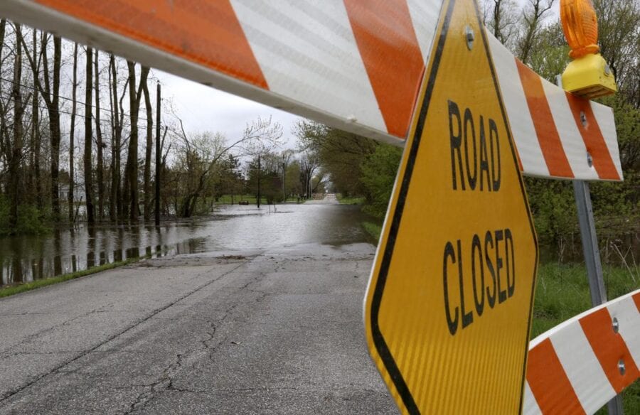
The National Weather Service in Quad Cities has issued a

* Flash Flood Watch for portions of Illinois, southeast Iowa and
  northeast Missouri, including the following areas, in Illinois,
  Bureau, Hancock, Henderson, Henry IL, McDonough, Mercer, Putnam
  and Warren. In southeast Iowa, Des Moines and Lee. In northeast
  Missouri, Clark.

* From 7 AM CDT this morning through Tuesday evening.

* Occasional rounds of showers and thunderstorms are expected across
  the watch area through Tuesday. A very moist air mass could lead
  to rainfall rates of 2 to 3 inches per hour in the hardest hit
  areas. Locations that receive several rounds of heavy rain will be
  most susceptible to flash flooding.

* Excessive runoff may result in flooding of low-lying and flood
  prone locations. Small rivers, creeks and streams may rise out of
  their banks.

PRECAUTIONARY/PREPAREDNESS ACTIONS...

You should monitor later forecasts and be prepared to take action
should Flash Flood Warnings be issued.
Today
Showers likely before noon, then showers likely and possibly a thunderstorm between noon and 1pm, then scattered showers and thunderstorms after 1pm. Some of the storms could produce heavy rain. Cloudy, with a high near 79. South wind around 5 mph. Chance of precipitation is 70%. New rainfall amounts between a tenth and quarter of an inch, except higher amounts possible in thunderstorms.
Tonight
A 50 percent chance of showers and thunderstorms, mainly after midnight. Mostly cloudy, with a low around 68. South wind around 5 mph. New rainfall amounts between a half and three quarters of an inch possible.
Tuesday
Showers likely and possibly a thunderstorm before 5pm, then scattered showers and thunderstorms after 5pm. Cloudy, with a high near 80. Southwest wind around 5 mph. Chance of precipitation is 70%. New rainfall amounts between a quarter and half of an inch possible.
Tuesday Night
A 50 percent chance of showers and thunderstorms. Mostly cloudy, with a low around 69. Southwest wind around 5 mph becoming calm in the evening. New rainfall amounts between a tenth and quarter of an inch, except higher amounts possible in thunderstorms.
Wednesday
Showers likely and possibly a thunderstorm. Mostly cloudy, with a high near 81. Chance of precipitation is 60%. New rainfall amounts between a tenth and quarter of an inch, except higher amounts possible in thunderstorms.
Wednesday Night
A chance of showers and thunderstorms. Mostly cloudy, with a low around 66. Chance of precipitation is 30%.
Thursday
A 40 percent chance of showers after 1pm. Mostly sunny, with a high near 81.
Thursday Night
Partly cloudy, with a low around 60.
Friday
Sunny, with a high near 76.
Friday Night
Mostly clear, with a low around 57.
Saturday
Mostly sunny, with a high near 77.
Saturday Night
Mostly clear, with a low around 60.
Independence Day
Sunny, with a high near 82.
***Courtesy of the National Weather Service***