
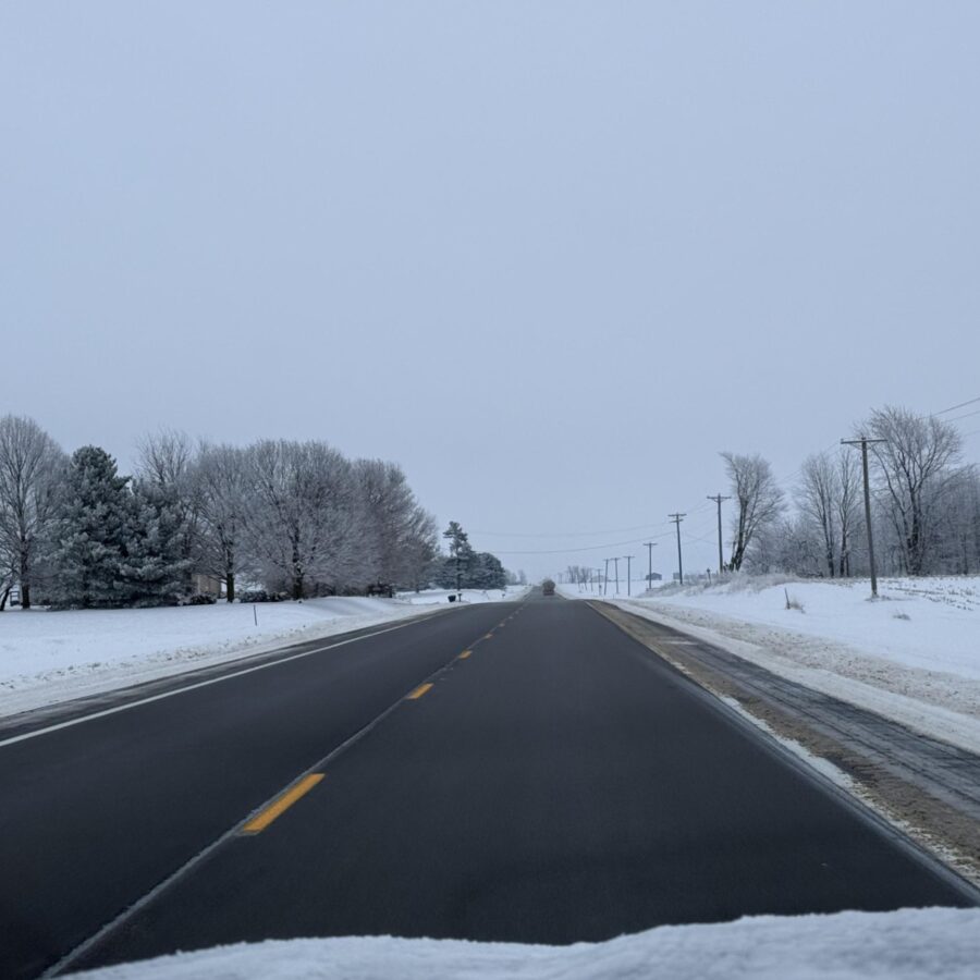
- Chance (20-30%) for patchy freezing drizzle this evening, mainly north of I-80 in far E Iowa and NW Illinois. If it occurs, untreated surfaces could become slippery.
- Accumulating snow (likely dry/fluffy) still expected to develop west to east Saturday night and then diminish Sunday morning. Much of the area north of Hwy 34 is likely to see 2″ or more, with 4″ or more possible for parts of eastern Iowa with travel impacts likely.
- Turning much colder Sunday night with wind chills dropping to around zero to 15 below.
- Active pattern next week with precipitation chances about every couple of days.
***Courtesy of the National Weather Service***