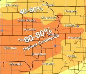

- Dangerous heat continues today, mainly for areas along and south of Highway 30 where the Extreme Heat Warning continues. Heat indices of 100-105 are expected once again for these areas.
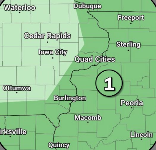
- Thunderstorm potential continues to increase for tonight through Independence Day, with some strong to severe storms possible. The biggest change in the severe weather outlook has been an expansion of the Level 2 of 5 risk Friday, now for most of the area. Damaging winds and heavy rainfall/flash flooding are the main threats, with large hail and an isolated tornado a lower threat.
- The exact timing and coverage of storms still remains uncertain, and therefore, the influence they will have for reducing the ongoing heat threat.
***Courtesy of the National Weather Service***