

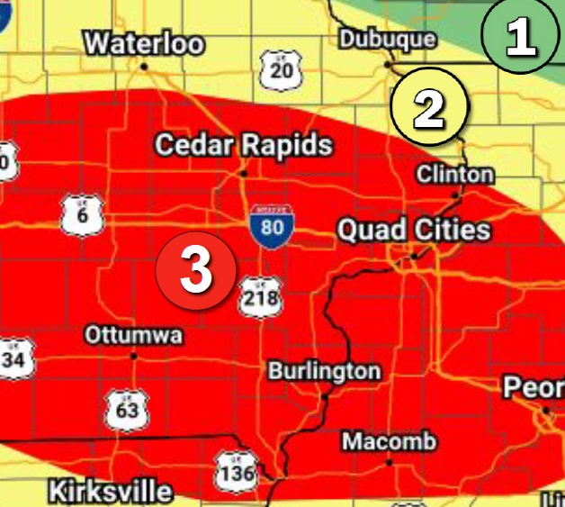
- An active weather pattern continues across the region with additional rounds of storms likely through Saturday. Severe storms are possible with each round (today Level 2 of 5 risk for many, mainly for this evening/tonight), Sat (Level 1 of 5 risk) mainly for the evening. The primary threats are damaging winds, lightning, and heavy rain.
- Estimated times for additional rounds:
- Round 1: Through midday today
- Round 2: This evening – tonight
- Round 3: Saturday evening – Saturday night
- Flash flood risk is elevated, especially in areas that received 2-4 inches of rain already this week. A Flood Watch is in effect through Saturday morning for much of the area.
***Courtesy of the National Weather Service***