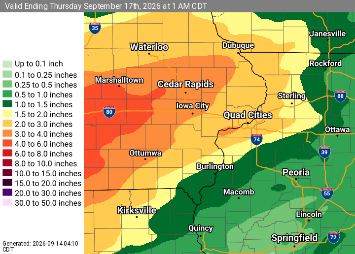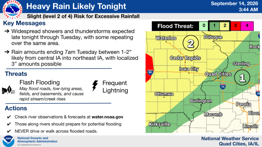

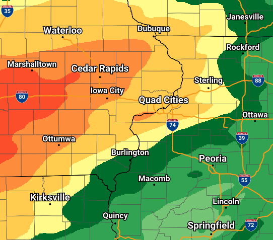
- Scattered showers and thunderstorms are expected to develop late tonight through Tuesday morning, with heavy rain likely. Some training of storms is possible leading to an elevated risk of flash flooding in poor drainage and urban areas. Currently, the heaviest rain axis is expected from central IA into northeast IA where localized amounts of 3″ are possible.
- Additional rounds of showers and thunderstorms are expected this week, potentially bringing a renewed risk for flash flooding and causing rises on area rivers especially the Skunk and Des Moines Rivers. There is a Slight (level 2 of 4) risk of Excessive Rainfall today through Wednesday for portions of the outlook area.
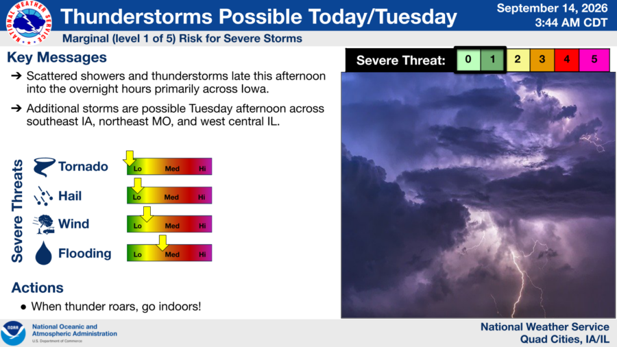
- There is also a threat for an isolated strong to severe storm late this afternoon through the overnight hours west of the I-380 corridor and again Tuesday across southeast IA, northeast MO, and west central IL.
***Courtesy of the National Weather Service***