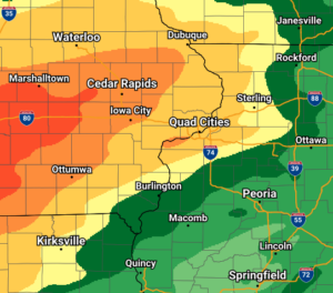

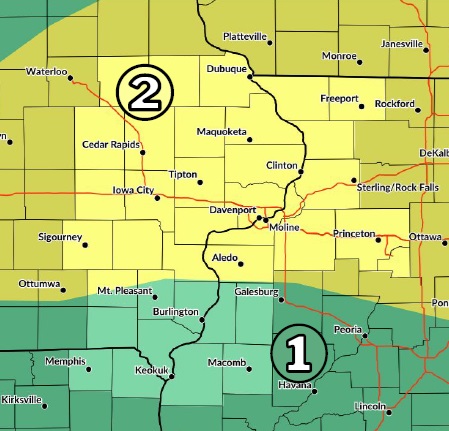
- An active weather pattern will continue through the weekend with rounds of showers and thunderstorms. Heavy rain and isolated strong storms are possible.
- A Flood Watch has been issued for a portion of eastern Iowa and northwest Illinois north of U.S. Hwy 30. This area has the greatest threat for heavy rain and flash flooding late tonight and Saturday. Uncertainty remains regarding where the axis of heaviest rain will fall; therefore, the Flood Watch may need adjustment or expansion if it shifts.
- Additional Flood Watches may be needed beyond Saturday, as the heavy rain & flash flood threat persists through Sunday.
- Drier and cooler conditions are expected to develop Tuesday and persist for the rest of next week.
***Courtesy of the National Weather Service***